Log in
All resources
Create a design
315 Free Artworks of Old Maps Of Trento
maps made in the 17th century
maps by pieter schenk (i)
gerard valck
atlantis magni tomus secundus (biblioteca comunale di trento)
atlantis magni tomus tertius (biblioteca comunale di trento)
maps made in the 18th century
atlantis magni tomus quartus (biblioteca comunale di trento)
nicolaes visscher ii
johann baptist homann
atlantis magni tomus quintus (biblioteca comunale di trento)
maps made in the 17th century
gerard valck
maps made in the 17th century
gerard valck
maps made in the 17th century
gerard valck
maps made in the 17th century
old maps of scandinavia
maps made in the 17th century
gerard valck
maps made in the 17th century
gerard valck
johann baptist homann
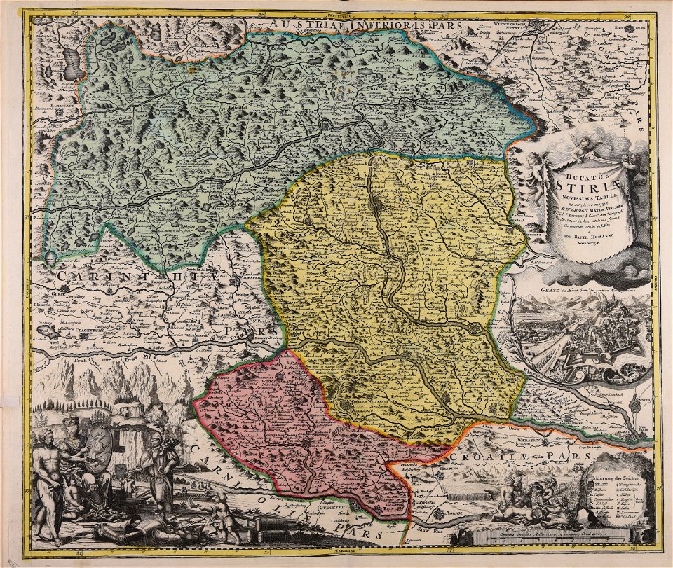
old maps of styria
maps made in the 17th century
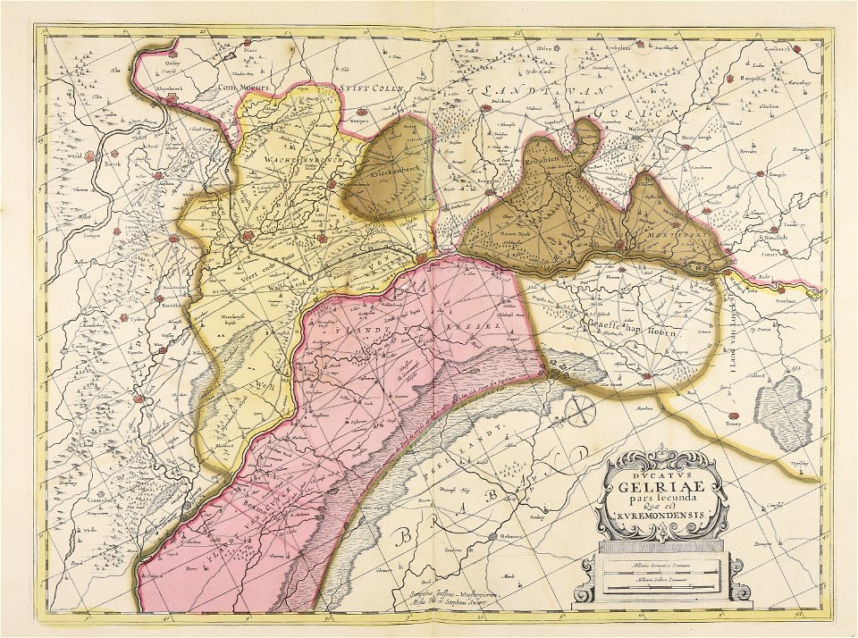
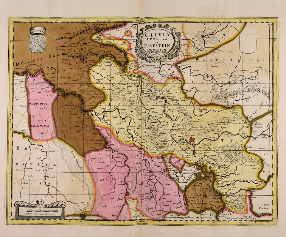
old maps of gelderland
maps made in the 17th century
jan janssonius
maps made in the 17th century
maps by nicolaes visscher i
maps made in the 17th century
gulf of trieste
maps made in the 17th century
gerard valck
maps made in the 17th century
gerard valck
maps made in the 17th century
nicolaes visscher ii
maps made in the 17th century
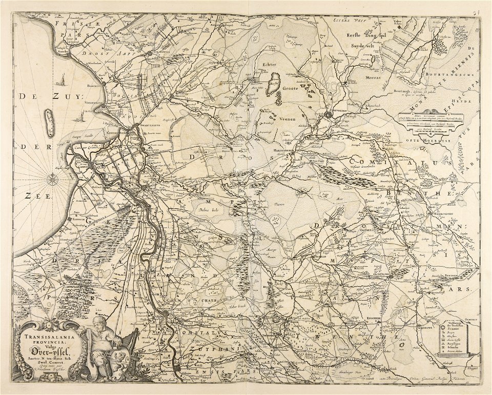
old maps of overijssel
maps made in the 17th century
old maps of gelderland
maps made in the 17th century
jan janssonius
gerard valck
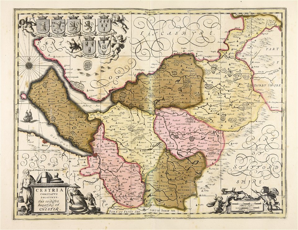
germany
maps made in the 17th century
gerard valck
maps made in the 17th century
gerard valck
maps made in the 17th century
gerard valck
old maps of mecklenburg
gerard valck
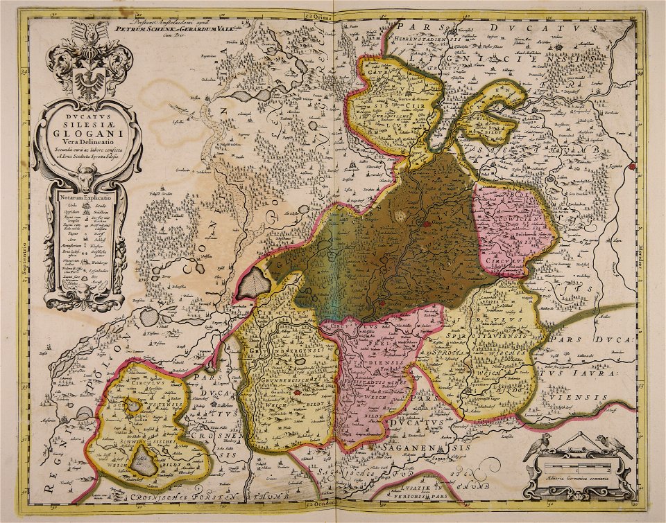
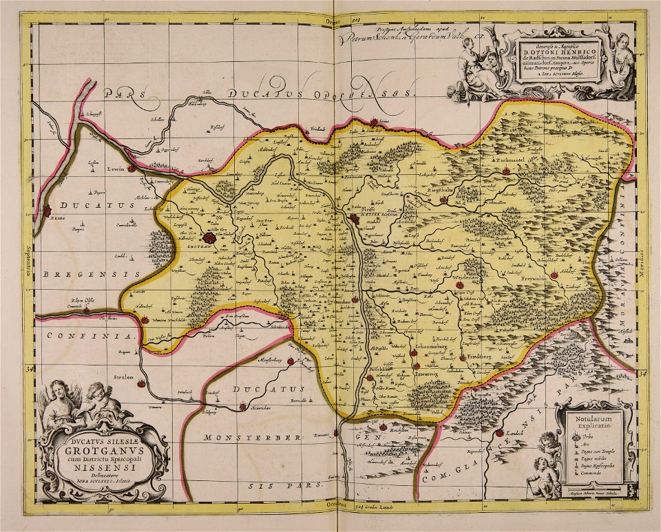
old maps of silesia
gerard valck
maps made in the 17th century
gerard valck
atlantis magni tomus tertius (biblioteca comunale di trento)
maps made in the 17th century
maps made in the 18th century
johann baptist homann
maps made in the 17th century
gerard valck
maps made in the 17th century
maps by pieter schenk (i)
maps made in the 17th century
gerard valck
maps made in the 17th century
gerard valck
maps made in the 17th century
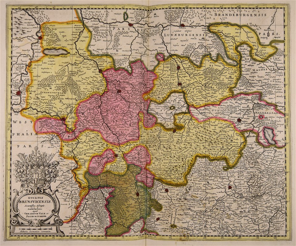
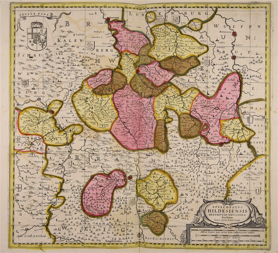
old maps of lower saxony
maps made in the 17th century
jan janssonius
maps made in the 18th century
johann baptist homann
maps made in the 17th century
nicolaes visscher ii
maps made in the 17th century
gerard valck
maps made in the 17th century
gerard valck
maps made in the 17th century
gerard valck
maps made in the 17th century
gerard valck
maps made in the 17th century
gerard valck
maps made in the 17th century
gerard valck
maps made in the 17th century
gerard valck
maps made in the 17th century
gerard valck
maps made in the 17th century
gerard valck
atlantis magni tomus secundus (biblioteca comunale di trento)
maps made in the 17th century
maps made in the 17th century
gerard valck
maps made in the 17th century
gerard valck
maps made in the 17th century
maps by nicolaes visscher i
maps made in the 17th century
gerard valck
maps made in the 17th century
gerard valck
maps made in the 17th century
gerard valck
maps made in the 17th century
gerard valck
maps made in the 17th century
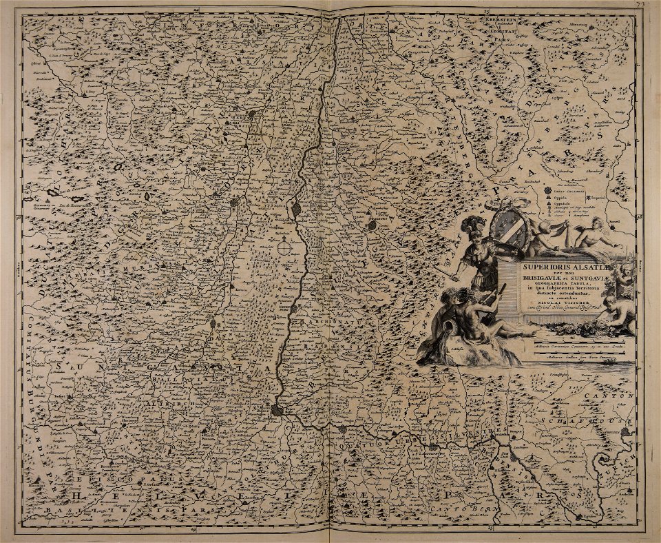
old maps of alsace
maps made in the 17th century
old maps of europe
maps made in the 17th century
old maps of gelderland
maps made in the 18th century
johann baptist homann
atlantis magni tomus quintus (biblioteca comunale di trento)
maps made in the 17th century
maps made in the 18th century
gerard valck
maps made in the 18th century
old maps of saxony
maps made in the 18th century
old maps of flanders
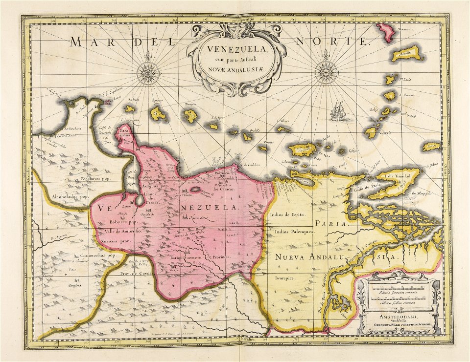
old maps of venezuela
gerard valck
maps made in the 17th century
gerard valck
old maps of silesia
gerard valck
maps made in the 17th century
gerard valck
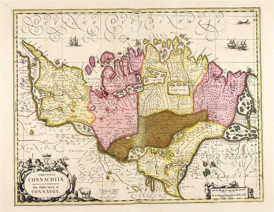
old maps of ireland
gerard valck
gerard valck
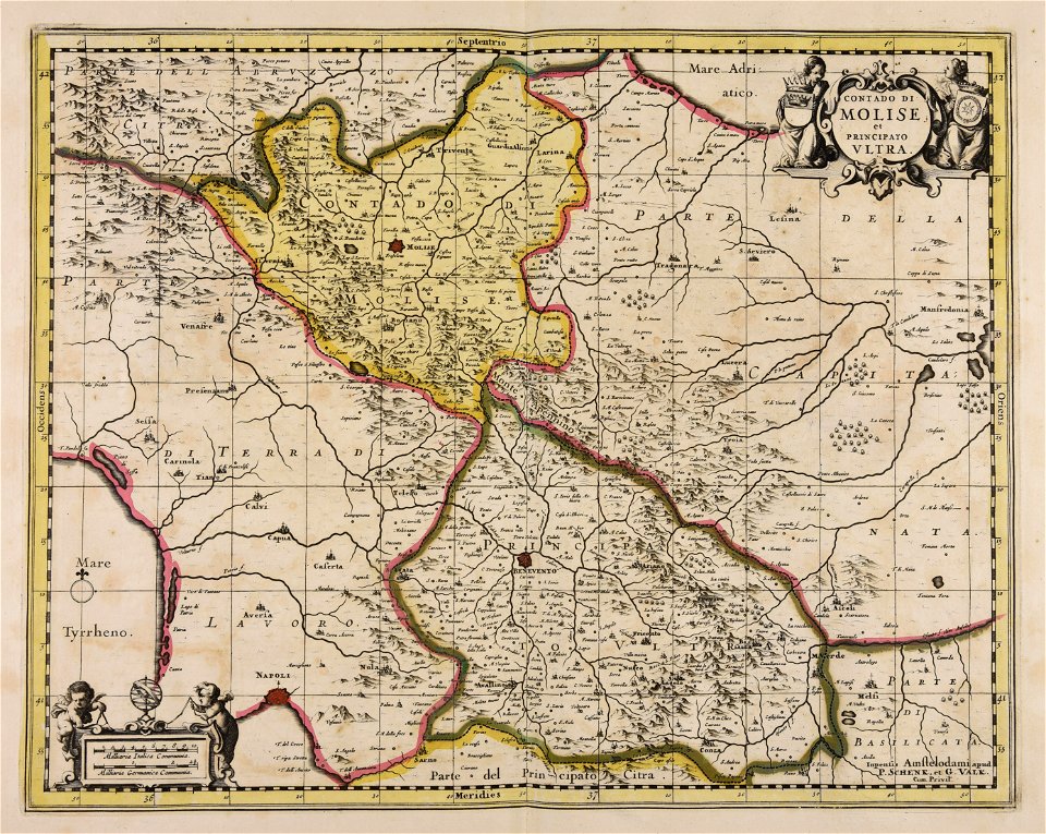
campania
maps made in the 18th century
gerard valck
maps made in the 18th century
gerard valck
maps made in the 18th century
johann baptist homann
maps made in the 17th century
old maps of gelderland
maps made in the 18th century
gerard van keulen
old maps of rhineland-palatinate
maps made in the 17th century
atlantis magni tomus secundus (biblioteca comunale di trento)
maps made in the 17th century
maps made in the 17th century
gerard valck
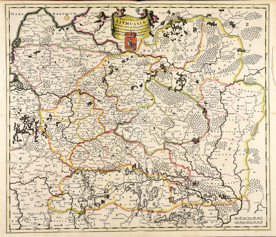
old maps of the grand duchy of lithuania
maps made in the 17th century
maps made in the 17th century
gerard valck
maps by nicolaes visscher i
old maps of greece
maps made in the 17th century
gerard valck
maps made in the 17th century
maps by nicolaes visscher i
maps made in the 17th century
old maps of gelderland
maps made in the 18th century
old maps of iran
maps made in the 17th century
lochaber
atlantis magni tomus secundus (biblioteca comunale di trento)
nicolaes visscher ii
maps made in the 18th century
gerard valck
maps made in the 17th century
old maps of gelderland
maps made in the 18th century
johann baptist homann
maps made in the 17th century
gerard valck
maps made in the 17th century
gerard valck
maps made in the 17th century
gerard valck
atlantis magni tomus quintus (biblioteca comunale di trento)
maps made in the 18th century
old maps of the iberian peninsula
1700s maps of portugal
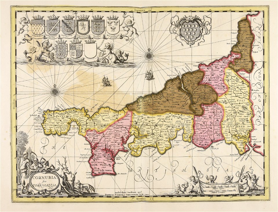
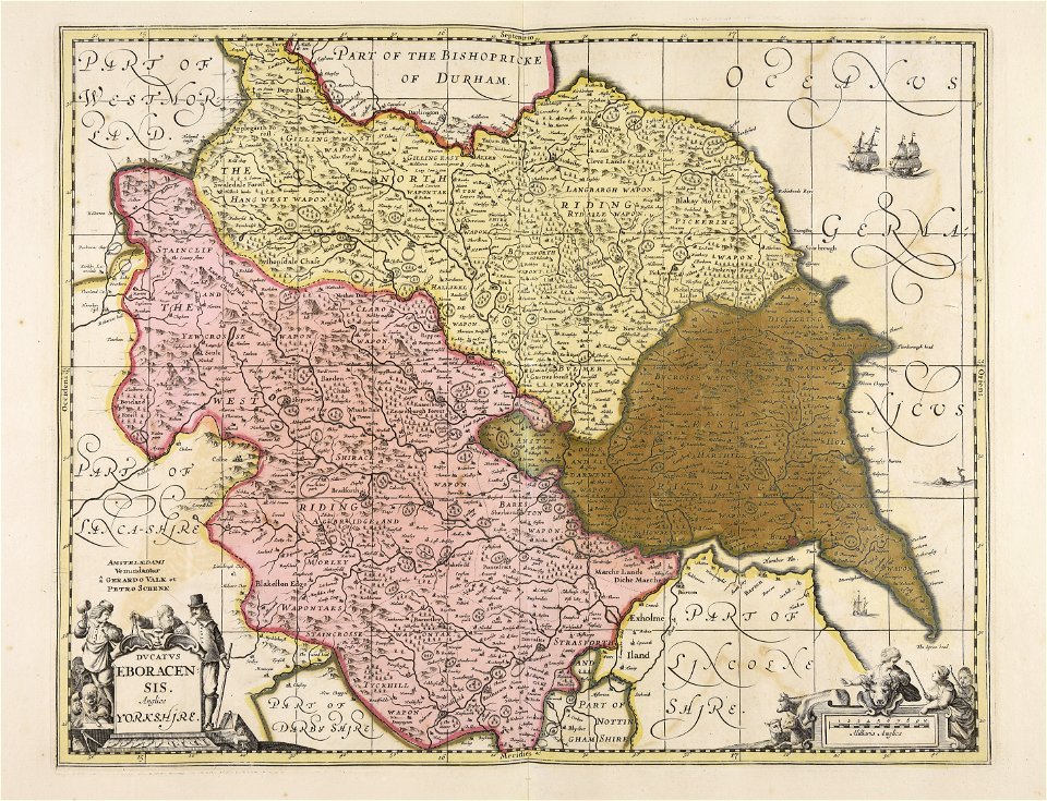
old maps of the british isles
maps made in the 18th century
history of mansfeld land
gerard valck
maps made in the 17th century
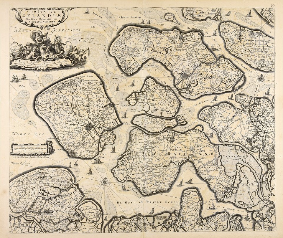
netherlands
maps made in the 18th century
gerard valck
old maps of frankfurt am main
johann baptist homann
maps made in the 17th century
gerard valck
maps made in the 17th century
gerard valck
gerard valck
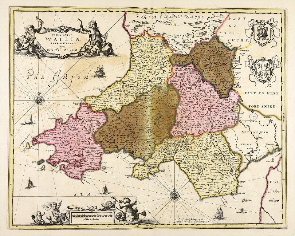
south wales
gerard valck
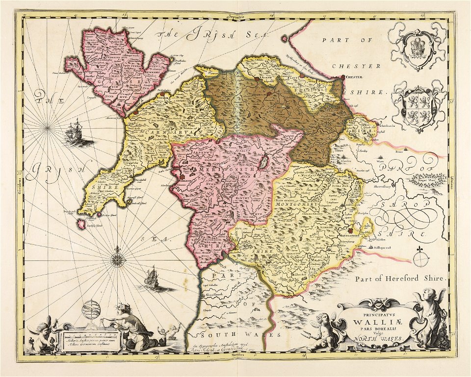
north wales
atlantis magni tomus secundus (biblioteca comunale di trento)
maps made in the 17th century
101 - 200 of 315
Next page
/ 4